17th Century Map of North Riding of Yorkshire.c.1630
This item is now sold.

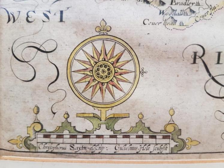


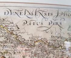


17th Century Map of North Riding of Yorkshire.c.1630
An Early original antique map of the North Riding of Yorkshire after Saxon engraved by William Hole in either 1610 or 1637. Hand tinted and in superb unfaded condition. Set in a later frame and mount. Map measures 13.5" x 8" or 19" x 14" including frame.

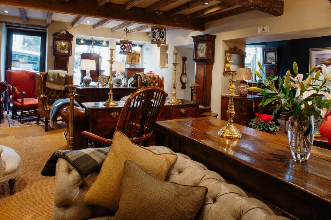

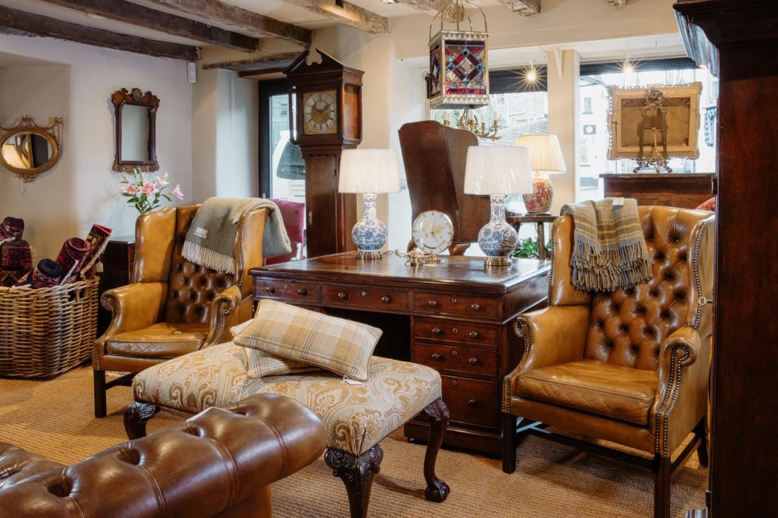
Showrooms with Inspirational Displays
Be inspired by our showrooms with a variety of room settings. Every item we sell is carefully selected by the proprietor, Peter Sturman. His eye for quality and originality ensures that beautiful, usable antiques are always available: for the traditional collector, or as statement pieces for contemporary interiors.
Location
Main Street, Hawes, North Yorkshire, DL8 3QW
Opening Hours
Monday to Saturday 10am - 5pm and Sunday 11am - 4pm